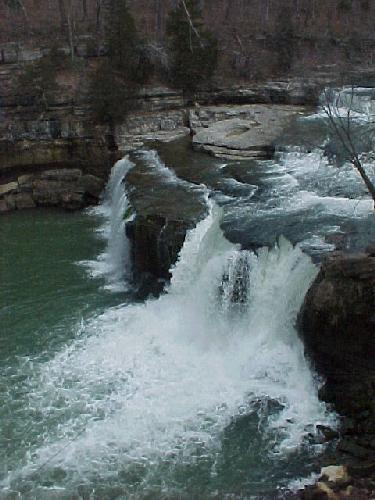
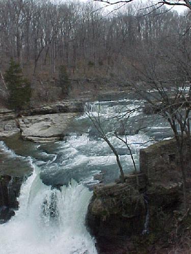
Location: Owen County, Indiana
Water Source: Old Mill Creek
Drop: 56 feet for the single drop; 81 feet for the total drop
Directions: From I-70 take exit 37 south on Rt. 243. Go south 5.4 miles to Rt. 42. Turn left on Rt. 42 and continue across the bridge at 6.4 miles, continue past the county line at 6.8 miles. The road makes a sharp left at 7.8 miles. At 7.9 miles turn right on 1275 S, a gravel road. At 9.6 is a crossroad-go straight. At 11.6 is a T intersection-turn right for about ½ mile to a sign with "Cataract Falls S.R.A. Dept. of Natural Resources Indiana’s Largest Waterfall" and turn right into the park (you will pass Cataract Covered Bridge on the right just before entering the park.) From the parking lot just inside the park to the right you can see the covered bridge and the Upper Falls.
Notes: I visited Cataract Upper Falls on April 12, 2002.
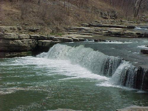
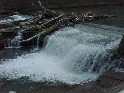
Location: Owen County, Indiana
Water Source: Old Mill Creek
Drop: 30 Feet
Directions: See Directions for Cataract Upper Falls. Upon entering the park, if you turn left instead of right to the Upper Falls parking lot, you will take the road to the Lower Falls. Just follow the signs to the Lower Falls. There is a parking lot, with the Lower Falls visible to the right.
Notes: I was at Cataract Lower Falls April 12, 2002 after visiting the upper falls.
Page last updated 04 Nov 2002.
Email comments to dmmaki@MichelesWorld.net