
Location: Oxford County, Maine
Water Source: Wight Brook
Drop: 150 Feet
Flow: Year
Directions: In Newry at the junction of Rts. 2/5/26, take Rt. 26 north for 8 miles to the sign to Step Falls Preserve on the right (there is no sign visible from the road for the preserve - look for a gravel turn in just before the Wight Brook bridge). Turn into the preserve and park near the sign in the trees.
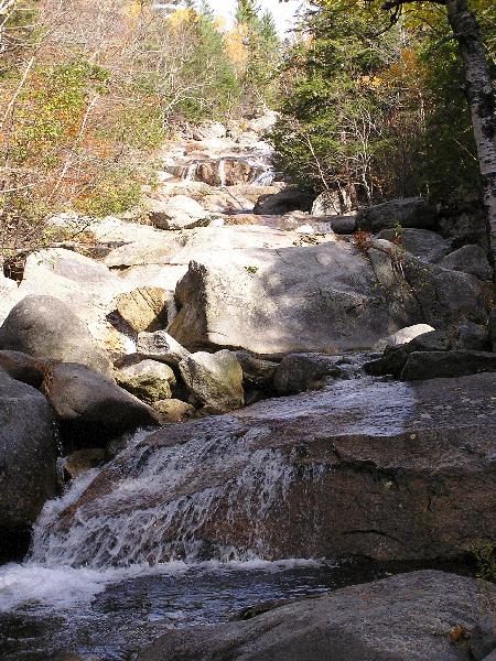
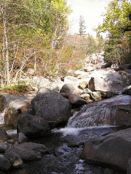
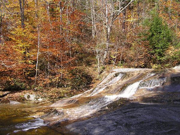
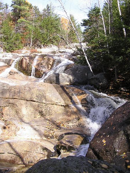
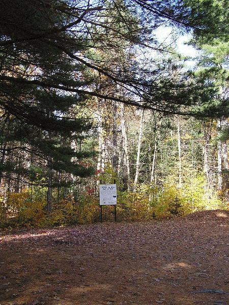
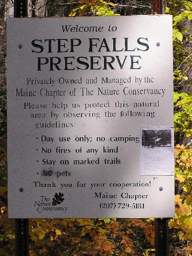
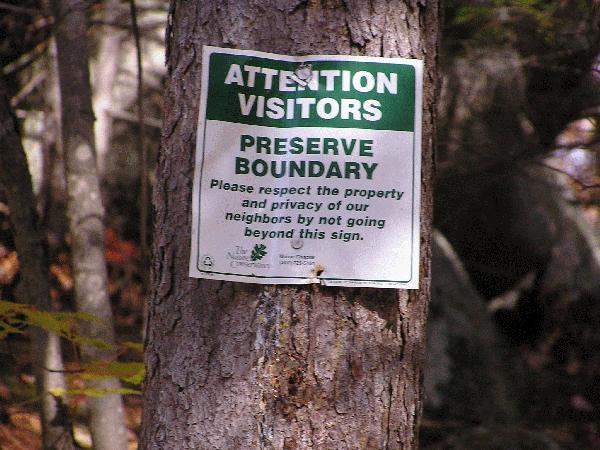
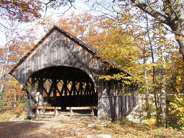
Notes: I went to Step Falls in Maine October 19, 2004. From the preserve parking area, shown in photos 6 & 7, take the trail to the left of the sign and hike uphill along the brook to the falls. The directions I had said the hike is about 1/4 mile - I think it was a little longer. You will see falls along the way that keep getting bigger as you go upstream. I went to the sign that indicated the end of the preserve, shown in photo 8. Follow the yellow paint spots on the trees. In some places the trail was a little hard to follow, but I just kept going upstream and eventually would find the trail marks again. The covered bridge was west of Step Falls.
Return to Waterfalls in Maine
Page last updated 19 Nov 2004.
Email comments to dmmaki@MichelesWorld.net