Dead River Falls

- Water Source
- Dead River
- Location
- 3 miles northwest of Marquette, Marquette County,
Michigan
- Size
-
- Directions
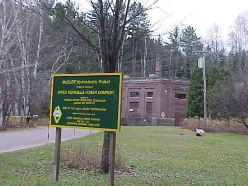
- Go north on Wright Street (first street west of Westwood
Mall) from US 41/M 28 in Marquette and go for 3/4 mile to
Forestville Road. Turn left on Forestville Road and go
for 2 1/2 miles. The road will curve left to the Power
Plant (see first photo below). Park to the right of the
Power Plant.
- Trail
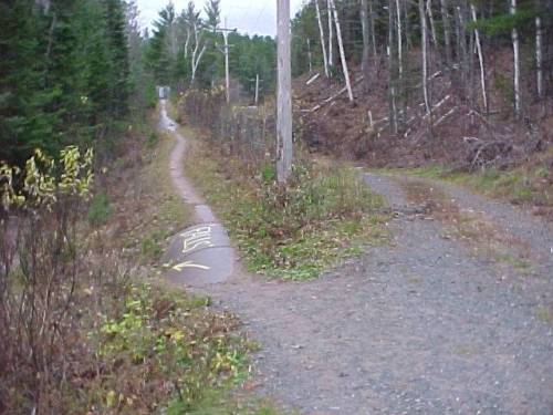
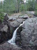
- The trail to the falls starts to the right of the Power
Plant and follows electric wires up the hill and through
the forest behind the plant. About 100 yards past the end
of the main hill, a section of an aquaduct is exposed,
and on it someone has painted "falls" and an
arrow to the left (see second photo below). Follow that
trail to the river.
- Other Information
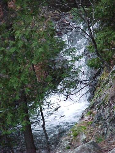
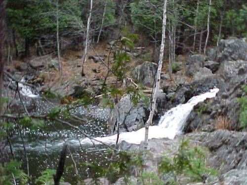
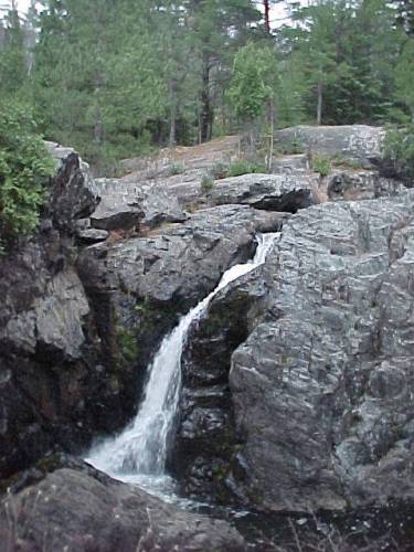
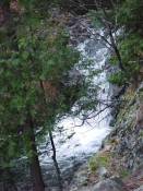
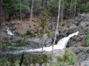
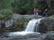
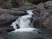
- I was at Dead River Falls on 2 November 2001. The main
falls is visible from the top of the hill, partially
hidden by trees, as shown in the first photo above.
However, I was told there were more falls upriver, so I
climbed down to the river and followed it upstream. There
were several falls along the way. When I came to the
falls with the boys jumping over it, they said the
tallest fall was the last one, and it was less than a
mile away, so I continued to that one (I think it was the
last one).
-
- After viewing Dead River Falls, go to Reany
Falls from the same area.
-
Return to
Waterfalls in Marquette County I

Page last updated 07 Jun 2003.
Email comments to dmmaki@MichelesWorld.net