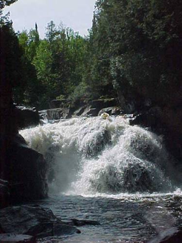
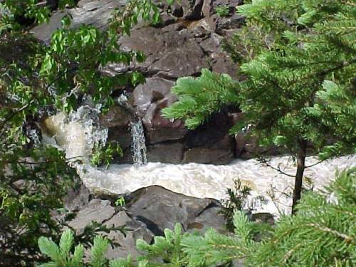
Sturgeon Falls

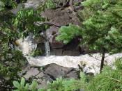
- Water Source
- Sturgeon River
- Location
- 10 miles northeast of Sidnaw, Houghton County, Michigan
- Size
- 30 foot drop after 15 foot-long chute
-
- Directions
- Take USFS-191 north from M-28 about 1 mile west of the
Baraga/Houghton County line and go about 2 miles to a
fork. Go on the right fork, continuing on USFS-191 for
about 3.6 miles to the Sturgeon River. (Follow signs to
Sturgeon River Campground from M-28.) Cross the river
(the Sturgeon River Campground will be on the left) and
continue on USFS-191 for about 6 more miles to USFS-193,
just past where USFS-191 turns sharply to the right. Turn
left (northwest) onto USFS-193 and go one mile to a
trailroad on the left that leads to the falls. Turn left
(south) on the trailroad and go about one-half mile to
the parking area.
- Trail
- From the parking area there is an old 4-wheel-drive trail
that leads doen with hill toward the river. Follow that
trail to the bottom of the hill, and then go upstream
about one-half mile to the falls. The trail follows high
above the river for a while, and then leaves the river
before going back toward the river just above the main
falls.
-
- Other Information
- I was at Sturgeon Falls on 11 October 1992 and on 31 May
2000.
-
Return to
Waterfalls in Marquette County I

Page last updated 27 Jul 2006.
Email comments to dmmaki@MichelesWorld.net