Location: Menominee Indian Reservation, Menominee County, Wisconsin
Water Source: Wolf River
Drop: ?? Feet
Flow: Year
Directions: From downtown Shawno where Rt. 55 N and 47 turn right onto Main Street at Greenbay & Main and Rt. 22S turns left, take Rt. 55 north for 8.4 miles (through Kenesha at about mile 6) to the Y of 55 & 47. Stay on 55 for a total of about 19 miles from Shawno (4.8 miles north of Big Eddy Falls) to the road to the left to Smokey Falls (you'll come to County M to the right, and the in .8 mile will be County M to the left; in another 1.1 mile is the Smokey Falls sign, and in another .3 miles is the road to the left with a sign for Wolf River Rafting. Follow the road to the end 2.0 miles to Wolf River Dells and park in the parking area.
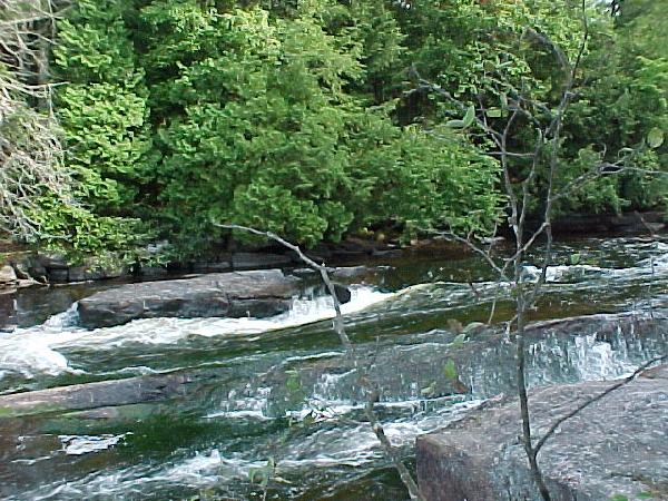
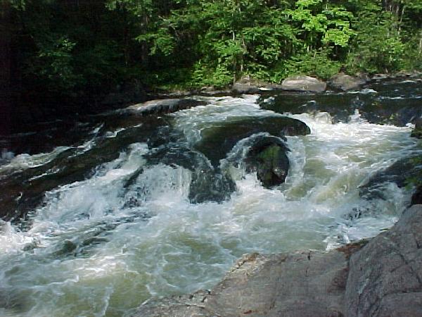
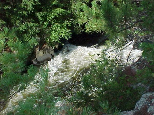
Notes: I went to Wolf River Falls in Wisconsin August 28, 2003 when I was looking for Big Smokey Falls and missed the turn. There was a $.50 parking fee near the porta-potties. The first photo was taken from there of the upper falls. The trail took about 15 minutes to get to the lower falls. The second photo is taken there, and the third is at the end of the canyon beyond.
Return to Waterfalls
in Wisconsin
Return to Michele'sWaterfall
Page
Page last updated 22 Nov 2004.
Email comments to dmmaki@MichelesWorld.net