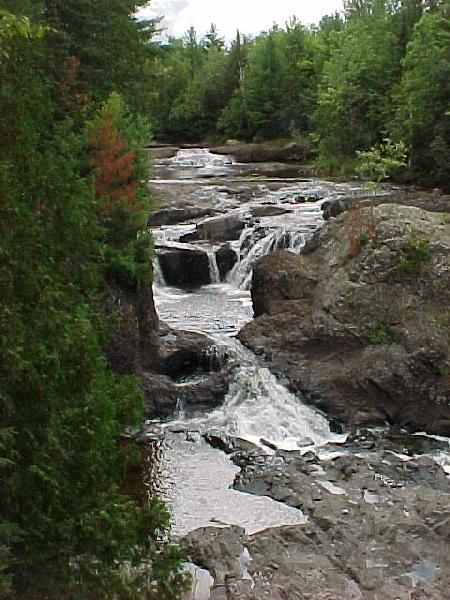
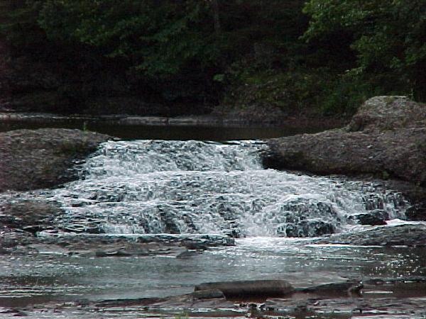
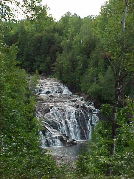
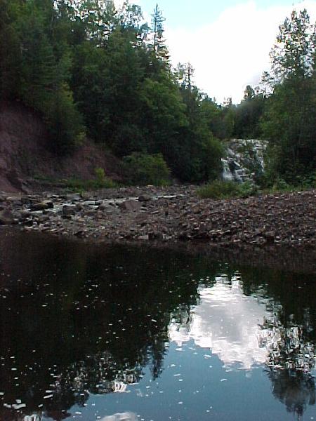
Location: Iron County, Wisconsin
Water Source: Potato River
Drop: 30, 20, and 20 Feet
Flow: Year
Directions: From US Rt. 2 just east of the Ashland/Iron Counties borders, take Rt. 169 south 2.5 miles to Gurney. Just inside the southern Gurnsey city limits is a sign to Potato Falls to the west (left), which is a good gravel road. Take that for 1.6 miles to a little park.
Notes: I went to Potato Falls in Wisconsin August 29, 2003. There are actually two 20-foot and one 30-foot falls within 400 feet of the Potato River. There are three trails that take you down to three different falls: to the Upper Falls, the observation Deck, and closer to the entrance is one to the Lower Falls. The largest one is viewable from the picnic tables. The trails have lots of steps (132 to the Upper Falls, 99 below the Observation Deck, and 223 on the trail to the Lower Falls). My notes, which are barely legible after taking all three trails, ended with, "I'm beat!!!"
Return to Waterfalls
in Wisconsin
Return to Michele'sWaterfall
Page
Page last updated 22 Nov 2004.
Email comments to dmmaki@MichelesWorld.net