Location: Menominee Indian Reservation, Menominee County, Wisconsin
Water Source: Wolf River
Drop: 25 Feet
Flow: Year
Directions: From downtown Shawno where Rt. 55 N and 47 turn right onto Main Street at Greenbay & Main and Rt. 22S turns left, take Rt. 55 north for 8.4 miles (through Kenesha at about mile 6) to the Y of 55 & 47. Stay on 55 for a total of about 19 miles from Shawno (4.8 miles north of Big Eddy Falls) to the road to the left to Smokey Falls (you'll come to County M to the right, and the in .8 mile will be County M to the left; in another 1.1 mile is the Smokey Falls sign, and in another .3 miles is the road to the left with a sign for Wolf River rafting. Follow the road .4 miles to the end of the one-way section and turn left where the one-way ends. Go another .2 miles to Big Smokey Falls.
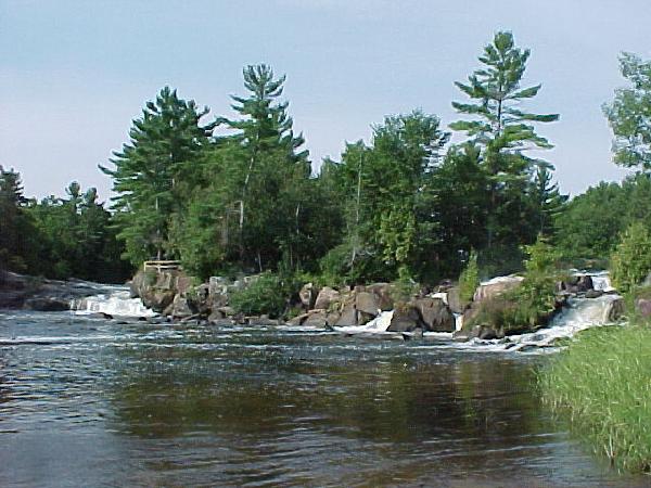
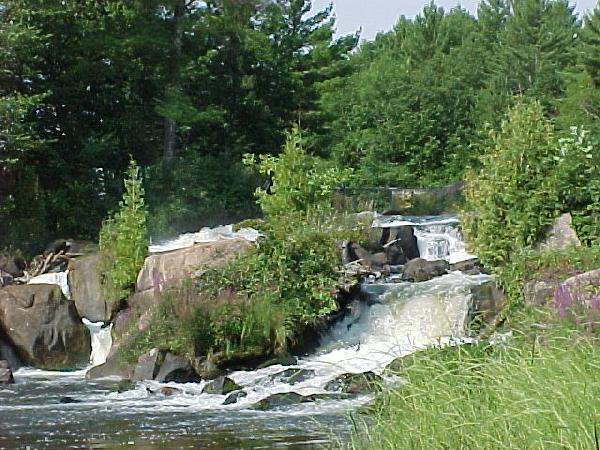
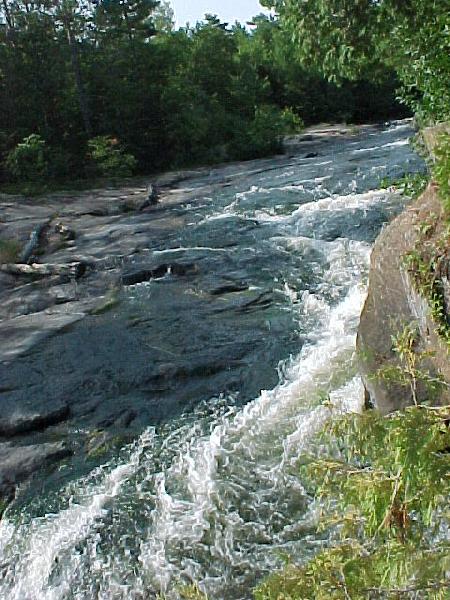
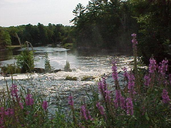
Notes: I went to Big Smokey Falls in Wisconsin August 28, 2003. The falls were visible on both sides of a little island, as shown in the first photo. The second photo is of the near falls. Then I crossed a little foot bridge to the far falls, which were barely visible, in the third photo. The last photo is a view downstream from the footbridge. There was a sign for a fee for crossing the bridge, but I couldn't find anyone to give it to.
Return to Waterfalls
in Wisconsin
Return to Michele'sWaterfall
Page
Page last updated 22 Nov 2004.
Email comments to dmmaki@MichelesWorld.net