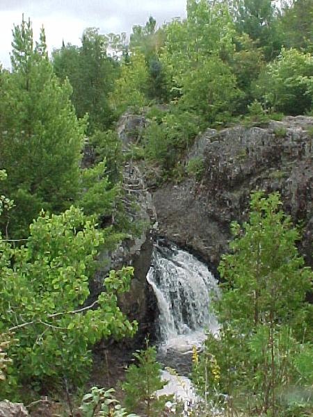
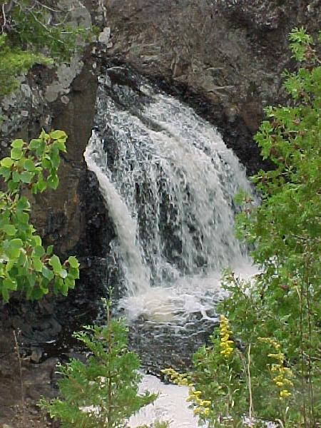
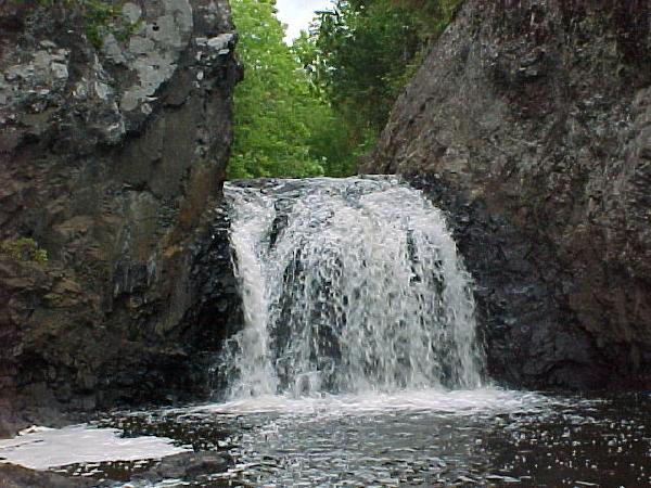
Location: Iron County, Wisconsin
Water Source: Tyler Forks River
Drop: 15 Feet
Flow: Year
Directions: From Upson take Rt. 77 west for 2.9 miles to Casey Sag Road. Take Casey Sag Road north (right) for 5.25 miles to where it intersects with Sullivan Road from the right. Turn to the left (road changes to Vogue Road) for 1.8 miles to where the roads meet with a sharp V. At this place there is an unmarked road with a brown sign to the south indicating a cooperative venture between the Iron County Forest and the Department of Natural Resources. Take that road for 1.3 miles to a Y. Stop and park there.
Notes: I went to Wren Falls in Wisconsin August 29, 2003. Walk the right fork to the top of the hill and down to a clearing at the falls on the left. It is a 5 minute walk at most. Just at the end of the road before the clearing at the falls by a rock is a trail that is fairly easy to get down to the river.
Return to Waterfalls
in Wisconsin
Return to Michele'sWaterfall
Page
Page last updated 22 Nov 2004.
Email comments to dmmaki@MichelesWorld.net