 Trail: .75 miles
Size: 20 feet
Location: Southwest of Evergreen
I took my fourth hike to Maxwell Falls in December 1999. To get there, take route 73 from the stoplight in downtown Evergreen to Brook Forest Road. Turn right on Brook Forest Road and stay on it past the dam on the left and a castle looking training center that used to be an inn about a mile past the dam. Continue on Brook Forest Road, which turns into Black Mountain Road, always staying to the left on the main road. At about 2 miles past the dam you will pass Cub Creek Trail on the right. Continue straight for anither .5 mile to a turnout on the left.
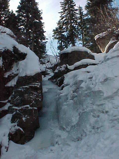
The trailhead to the falls is from that turnout. There is no mention of the falls on the trail. Take the trail to the fork, and take the left fork (not the right fork which will take you across the creek). The trail stays to the left of the creek, and climbs a hill to where you are directly above the falls. You can continue on the trail which has switchbqacks down the hill beyond the falls. The trail continues to the south trailhead. To get to the falls, when you get near the creek, double back to the right upstream and follow one of the smaller trails back along the creek to the falls. The trail is about .75 miles to the bottom of the falls. The round trip, including some time at the falls to take some photos, took about 50 minutes.
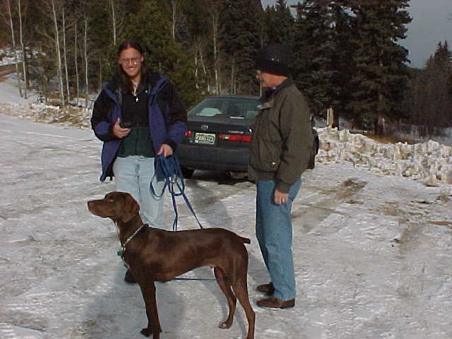
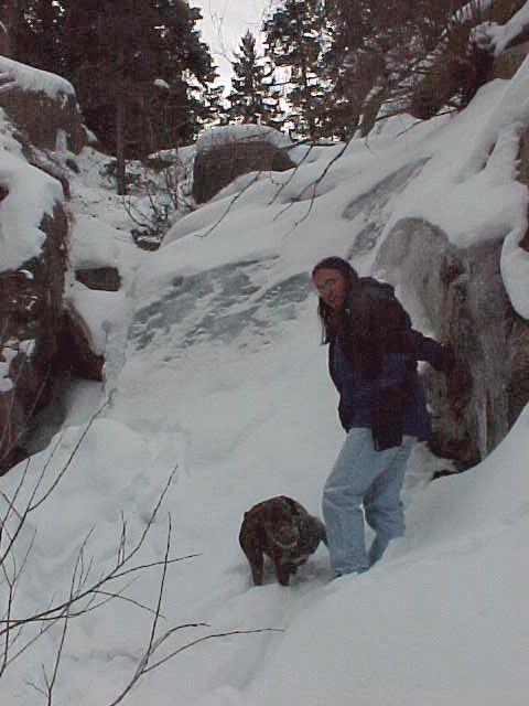
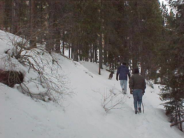
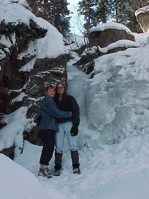
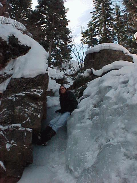
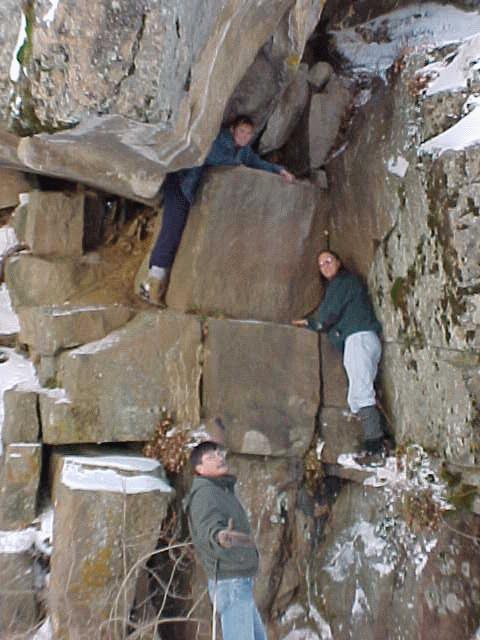
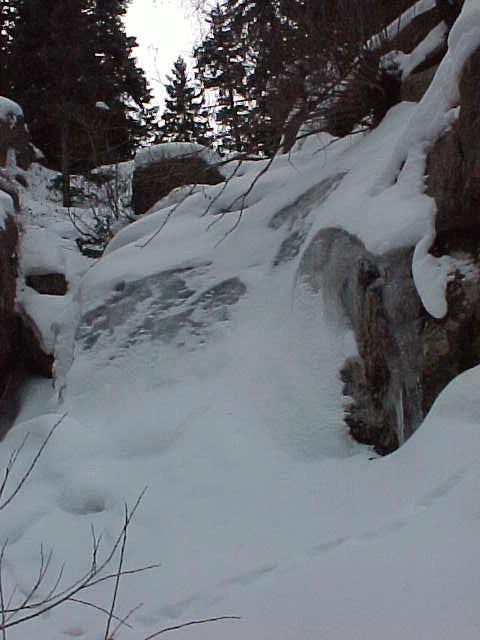
In the first photo we are getting ready for the hike in to the falls. The second photo shows Jphn and Jake at the falls. The falls are covered with snow, so the ice is not too visible. The final photo shows the hike back to the car from the falls.