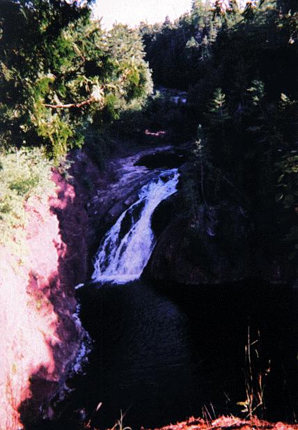
Superior Falls
- Water Source
- Montreal River
- Location
- Gogebic County, 14 miles northwest of Ironwood
- Size
- 45 foot drop, with rapids upstream - about 75 foot total
drop
- Directions
- Take Wisconsin highway 122 north from US-2 about 11 miles
west of Ironwood and go about 4.5 miles to a bridge
across the Montreal River. Cross the bridge (you are now
back in Michigan) and turn left onto the second gravel
road. Follow it to a power station, and park your car
there. There is a sign to a view of the falls to the
left.
- Trail
- Follow the short path to the left to view the falls,
which is across the river and drops and then flows out to
Lake Superior.
- Other Information
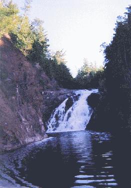
- After viewing the falls from the bluff by the power
station, I followed a trail to the right of the power
station which led to a trail (more like a road) marked
"Access to Montreal River/Lake Suerior" down
the hill to Lake Superior. I went down to the lake, and
spoke with a fisherman who showed me a trail along the
left bank of the river, behind the power station
building, and into a basin just across the river from the
falls. The photo above is from that basin.
-
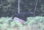
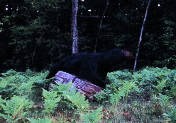
- Note: As I was driving from Superior Falls, just before
the Wisconsin border, I saw a black bear cross the road.
I didn't have time to get my camera out for a photo :-( ,
but I did take a picture of a wooden bear, which looked
like the bear I saw, at a shop farther down the road.
Here's a picture of that wooden bear:
- Other Photo
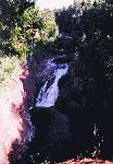 Here's a photo
of Superior Falls from the top of the bluff to the left
of the power station.
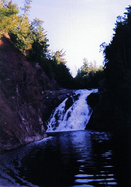
Here's a photo
of Superior Falls from the top of the bluff to the left
of the power station.-
Return to Waterfalls in Gogebic County
II

Page last updated 28 Dec 2000.
Email comments to dmmaki@MichelesWorld.net
 Here's a photo
of Superior Falls from the top of the bluff to the left
of the power station.
Here's a photo
of Superior Falls from the top of the bluff to the left
of the power station.