Nawadaha Falls
-
- County
- Gogebic
- Water Source
- Presque Isle River
- Location
- Porcupine Mountains State Park
- Size
-
- Directions
- Go north on Co. Rd. 519 from M-28 in Wakefield for about
15 miles to Porcupine Mountains State Park (or follow
South Boundary Rd, to its western end in the park to
reach 519). Continue north on 519 for about 1/4 miles to
a small park registration building on the right. Park
just before the building.
- Trail
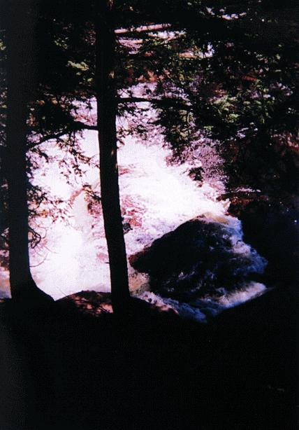
- Take the small dirt trail to the right behind the
building to the falls. You can hear the falls from just
behind the building. You can see the falls below from the
top of the cliff.
- Other Information
- I visited this fall in the summer of 1997. I did not
attempt to go down the bank to the foot of the falls,
because it was quite steep and I could find no trail.
However, the Michigan Waterfall book suggests doing so,
so there may be a trail farther upstream or downstream.
Also, you can take a foot trail from Manido Falls to
Nawadaha Falls by taking the trail upstream from the
wooden stairway leading to Manido Falls. However, a
ranger told me the trail was eroded in places and you
have to climb the bank to the top of the cliff in several
spots, so he suggested taking the trail from the park
registration building.
-
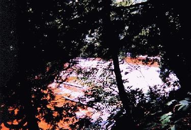
- It was hard to see the falls through the trees, so it
might be better to visit this falls in the late fall
after the leaves have dropped to bet a better view of
them.
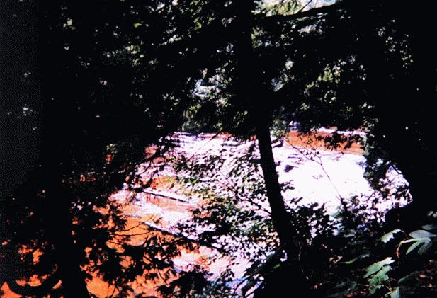
- Other Photo
 Here's another
view of the falls from directly above.
Here's another
view of the falls from directly above.-
- (See Iagoo Falls, Manabezho Falls, Manido Falls, and Unnamed Falls in the same area.)
Return to Waterfalls in Gogebic County
II

Page last updated 28 Dec 2000.
Email comments to dmmaki@MichelesWorld.net
 Here's another
view of the falls from directly above.
Here's another
view of the falls from directly above.